
Service · Web GIS
Web Maps & Dashboards
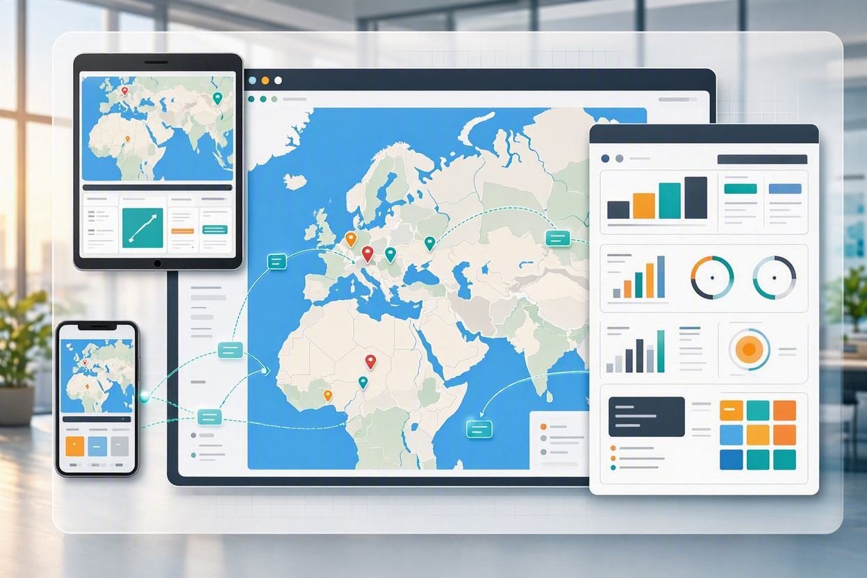
Interactive maps and operational dashboards that put live spatial data in the hands of staff, decision-makers, and the public.
Service overview
From inventory data to decisions your team can open every morning.
AustralGIS designs and delivers browser-based web maps and analytics dashboards tailored to municipal and enterprise GIS workflows. Whether you need a client portal for tree inventories, a public-facing map, or an internal operations board, we turn your spatial datasets into clear, filterable, and exportable tools — without locking you into a single vendor cloud.
What you can do
Interactive web maps
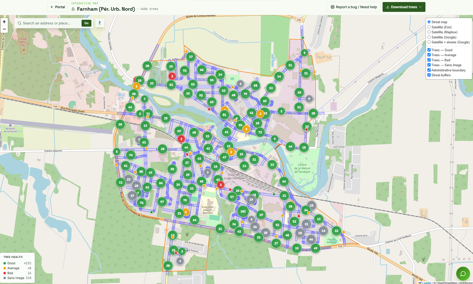
Leaflet-based maps with clustered markers, basemap switching, address search, and attribute popups linked to Street View and photos.
Analytics dashboards
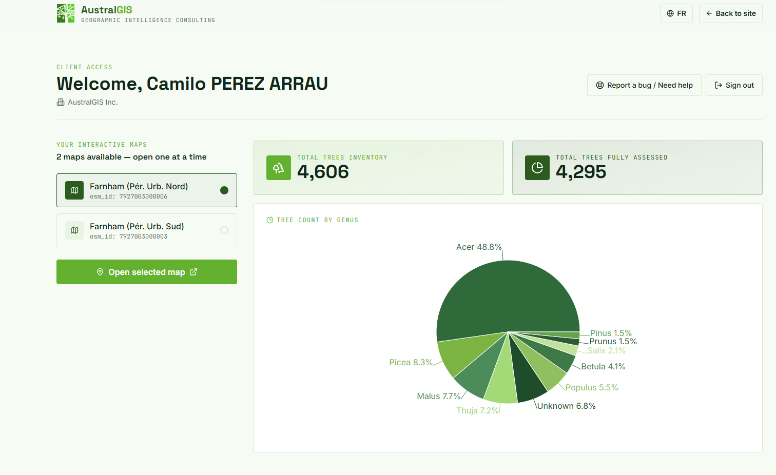
KPI cards, genus and health breakdowns, pie charts, and summary metrics that update with the map you select.
Layer & health filters
Toggle tree condition classes, administrative boundaries, street buffers, and satellite or street basemaps in one control panel.
Data export
Download filtered tree or asset data in GeoJSON, Shapefile, CSV, KML, GML, or GeoPackage for desktop GIS and reporting.
Multi-map portals
One login, multiple assigned projects — clients open one map at a time with stats scoped to that inventory.
Secure client access
Authenticated portals with organization branding, bug-report workflows, and bilingual EN/FR interfaces.
Live examples
Built on the AustralGIS client portal
These screenshots come from a production tree-inventory portal: a client dashboard with map selection and genus analytics, and the interactive Farnham map with health-coded clusters and layer controls.
Hosting options
Hosted by AustralGIS or on your own servers
We meet you where your IT and security policies already are. Choose the delivery model that fits your municipality or firm.
AustralGIS client portal
We host your maps and dashboards on the existing AustralGIS client portal. Your staff sign in, open assigned projects, and use analytics and downloads immediately — ideal when you want a turnkey solution without standing up new infrastructure.
Custom portal on your servers
We design and implement a new custom portal integrated into your own servers or cloud. Same map and dashboard capabilities, branded for your organization, with data residency and access control under your IT policies.
Pricing
Web maps & dashboards — pricing
Engagements typically cover UX and data model design, map and dashboard build, authentication, hosting choice, training, and handoff. Scope depends on number of layers, users, and whether we extend the AustralGIS portal or build on your stack.
Pricing
Contact us for more info
Contact us for more info — we will quote based on your datasets, user count, and hosting preference.
Start a projectTypical cost breakdown
Data & API integration
Connect PostGIS, GeoServer WFS/WMS, or file-based inventories; normalize attributes and health classes for the UI.
Dashboard design
KPI cards, charts, map pickers, and bilingual copy aligned to how your staff review inventories day to day.
Interactive map build
Clustering, filters, basemaps, search, popups, Street View links, and multi-format downloads.
Branding & access
Organization branding, secure login, role-ready map assignment, and optional custom domain or on-prem deploy.
Ready for maps your team actually opens?
Tell us about your inventory or asset data. We will recommend AustralGIS hosting or a custom portal on your servers and outline next steps.