Urban Tree Inventories
Two ways to inventory your urban forest.
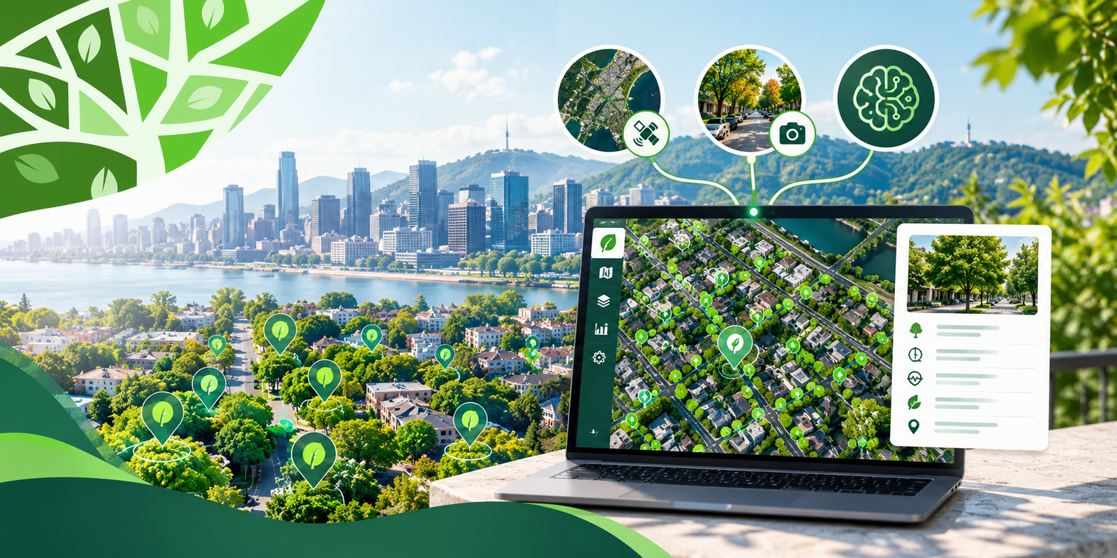
We understand that every municipality must meet deadlines and stay within budget. That is why we are proposing an innovative approach to tree inventory — combining geospatial AI and modern methodology to deliver accurate results faster and at lower cost:
Side-by-side comparison
Which approach is right for you?
NEW – Smart Tree Inventory:
A fast, affordable, field-free alternative using GeoAI and existing satellite/street-view data. An innovative method ideal for budget-conscious projects or as a preliminary assessment.
Traditional Field Inventory:
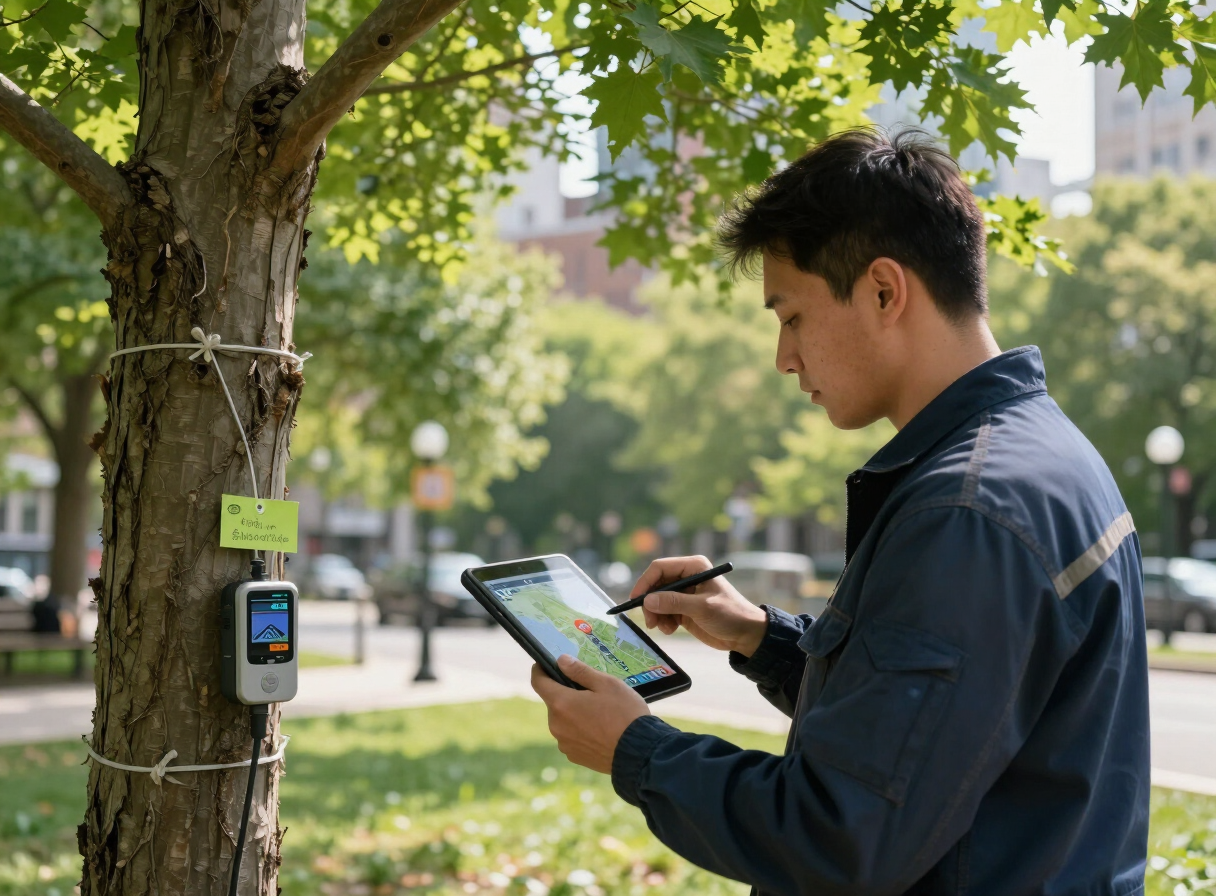
Time consuming on-ground survey with arborists collecting detailed health and condition data.
Both approaches deliver a complete tree census with rich attribute data. The choice depends on your timeline, budget, and accuracy requirements. Smart Tree Inventory is ideal for municipalities seeking rapid, cost-effective results and the flexibility to update without fieldwork. Traditional Field Inventory is best when maximum accuracy and detailed health assessments are non-negotiable.
Smart Tree Inventory
New- More affordable
- Fast turnaround
- Available year-round — no seasonal constraints
- Easy to update (external data collection)
- Less accurate than field surveys
Traditional Field Inventory
- High data accuracy
- Slow to complete
- Expensive
- Season dependent
- Difficult to update
Pricing
Urban Tree Inventories – Pricing
Our Smart Tree Inventory service delivers a complete, field-free census of every street-visible tree in your municipality. Using satellite imagery, Street View data, and proprietary GeoAI, we generate a rich attribute set for each tree—without ever setting foot on site.
The result: accurate, year-round data at a fraction of the cost of traditional ground surveys.
Choose your tier – based on municipality population
- Population
- 1,000 – 29,999
- Delivery Timeline
- 1 week
- Population
- 30,000 – 99,999
- Delivery Timeline
- 2 weeks
- Population
- 100,000+
- Delivery Timeline
- Custom timeline
All tiers include the same rich attribute set, dashboard, webmap, and flexible data exports. Pricing scales with the number of trees processed – not with fieldwork hours – so you get maximum value without seasonal restrictions or on-site delays.
Final pricing is customized to your city's needs and may vary based on inventory size, Google Maps coverage in kilometres, and integration of custom data sources.
Pricing is charged yearly. Annual upgrades can incorporate new Google Street View data, high-resolution satellite imagery, and LiDAR coverage, keeping your inventory current without a full re-survey.
Still not sure about your requirements? Contact us and we'll help you find the right approach. Contact us
What's included in every inventory
A live dashboard with key metrics and health summaries
An interactive webmap to explore, filter, and query every tree
Final GIS data delivered in your preferred format (Shapefile, GeoJSON, File Geodatabase, etc.)
A complete data dictionary with the following attributes per tree:
Data dictionary
| Attribute | Description |
|---|---|
| ID | Unique tree identifier |
| ACS (m) | Average crown spread (meters) |
| Area Canopy (m²) | Canopy area in square meters |
| Genus | Botanical genus |
| Common name | Common tree name |
| Comment on genus | How the genus was identified |
| Height (m) | Tree height in meters |
| Address | Civic address (geocoded) |
| Latitude / Longitude | Coordinates in degrees (WGS84) |
| Phytosanitary classification | Health status: Good / Average / Poor |
| Phytosanitary description | Detailed health observation |
| Street image date | Date of source street imagery |
| Near Street | Public (True) or private (False) tree |
| DBH (cm) | Diameter at breast height |
| Tree image | Google Street View link + still image |
Ready to see your urban forest from above?
Contact us for a custom quote, to discuss your specific needs, or to request a sample dataset from a city similar to yours.