
Case Study · Urban Forestry
City of Farnham Urban Tree Inventory
Project Overview
A Green Asset Success Story Driven by Innovation with AustralGIS Inc.
When the City of Farnham needed to modernize its approach to urban forest management, they faced a common challenge: they needed a tree inventory that was fast, affordable, and precise. After evaluating several options, they chose AustralGIS Inc. for one key reason—our ability to deliver exactly what we promise, backed by real innovation.
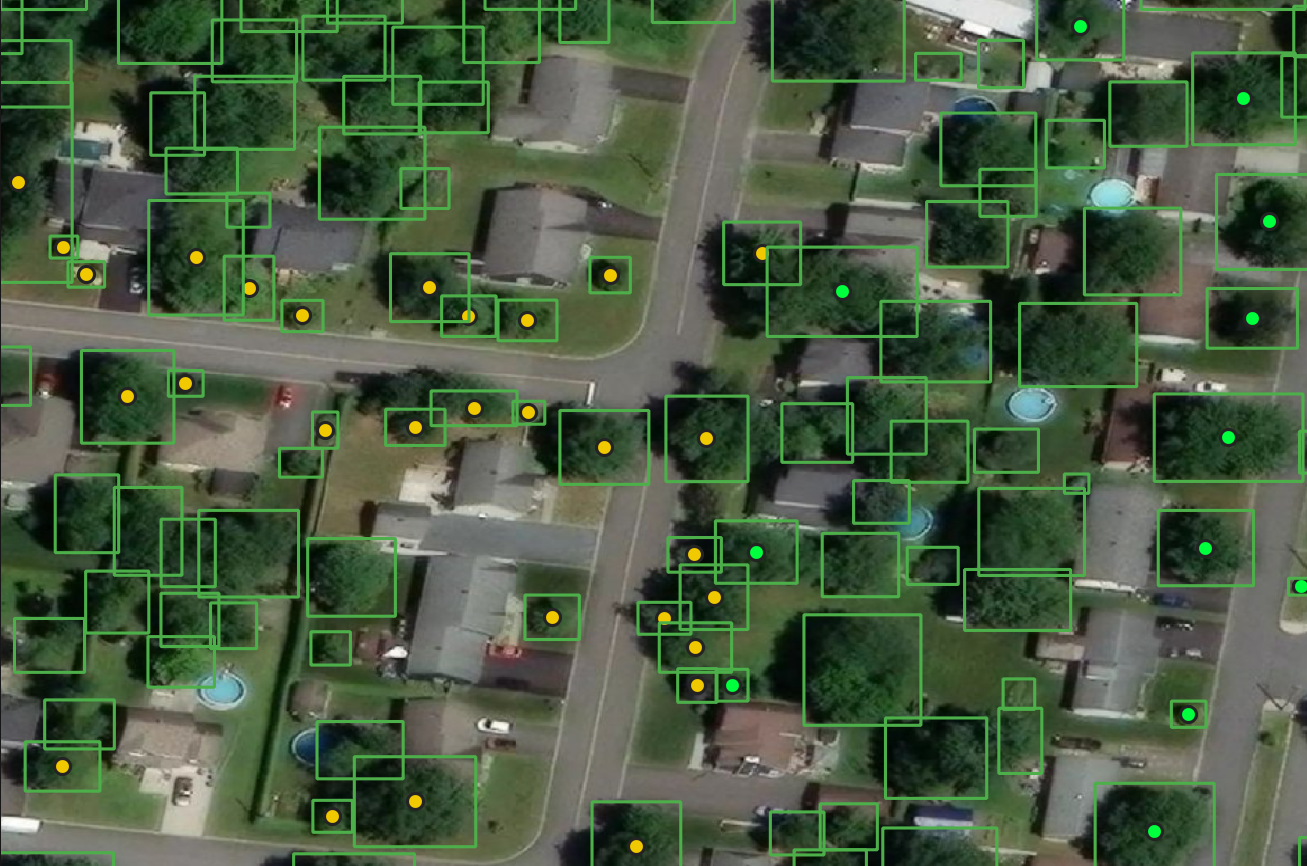
AI-assisted tree detection across Farnham's urban perimeter — each point represents an inventoried tree.
From the outset, we didn't just provide a standard service; we listened. Our team adapted our GIS methodologies to Farnham's specific municipal needs, integrating their local knowledge with our advanced geospatial technology. This innovative, client-driven approach ensured that the final product was not only accurate but also perfectly tailored to their workflows.
The result was a comprehensive, accurate urban tree inventory delivered on time and within budget. By choosing AustralGIS, Farnham gained a powerful, innovative tool to plan maintenance, mitigate risks, and enhance their green spaces—all without the typical bureaucratic delays or hidden costs. It's a partnership built on flexibility, listening, and results.
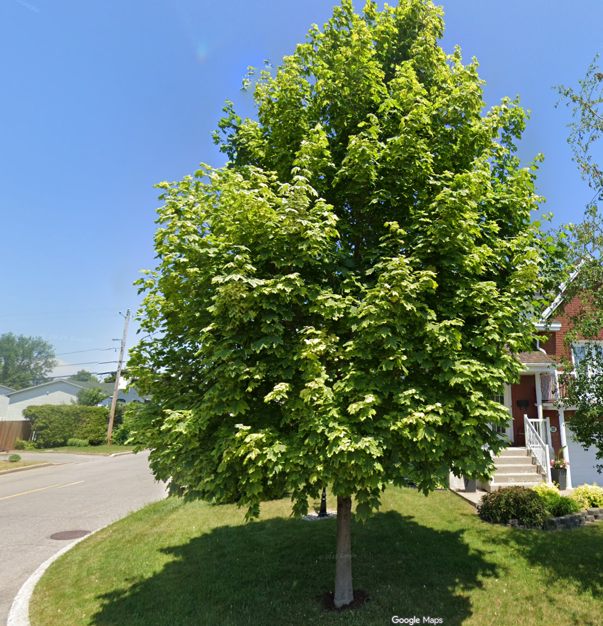
A mature street-facing tree captured via Google Street View imagery during the Smart Tree Inventory process.
Interactive client portal
A custom dashboard delivered with the inventory
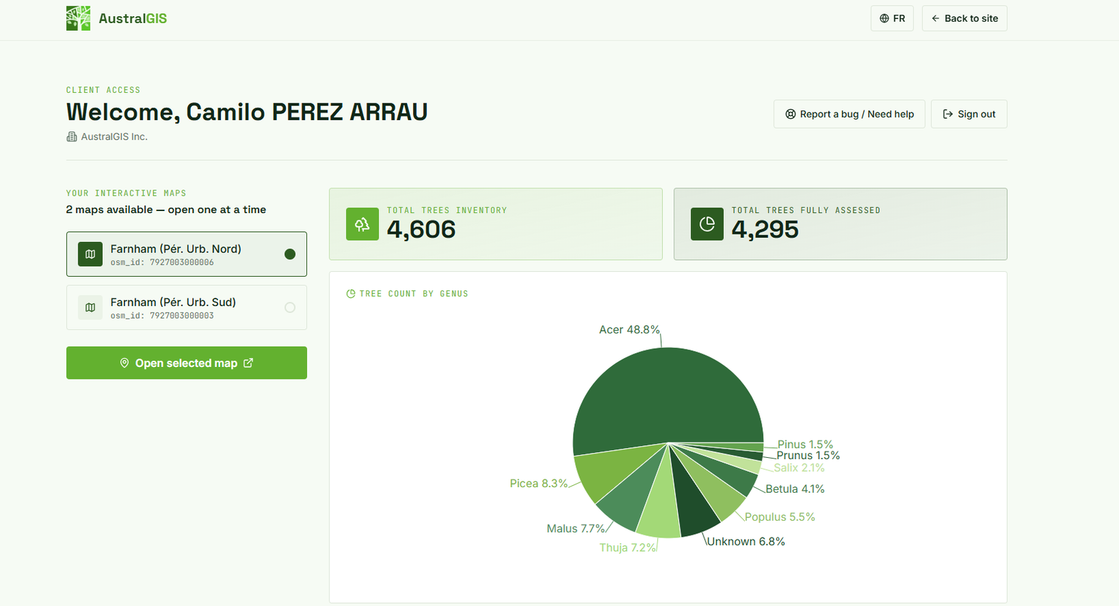
The AustralGIS client portal dashboard showing genus distribution, inventory totals, and interactive map access for Farnham.
Live interactive map
Explore every tree with detailed health indicators
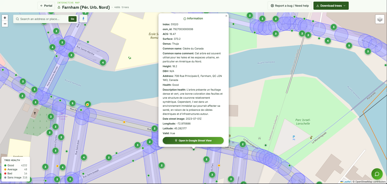
The interactive map interface with tree health indicators, detailed information panels, and real-time tree data visualization.
Our approach
GeoAI + existing data = fast delivery
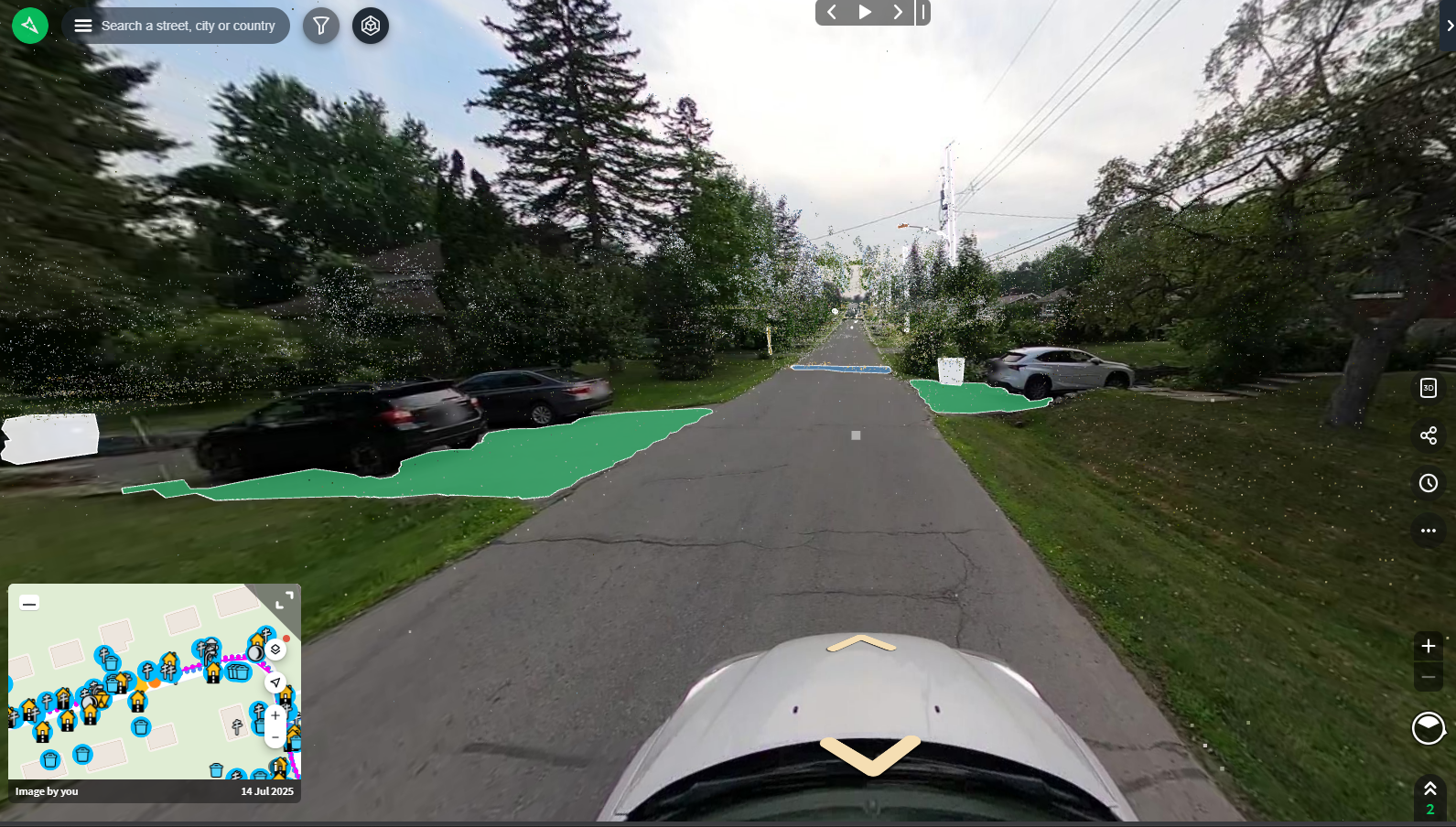
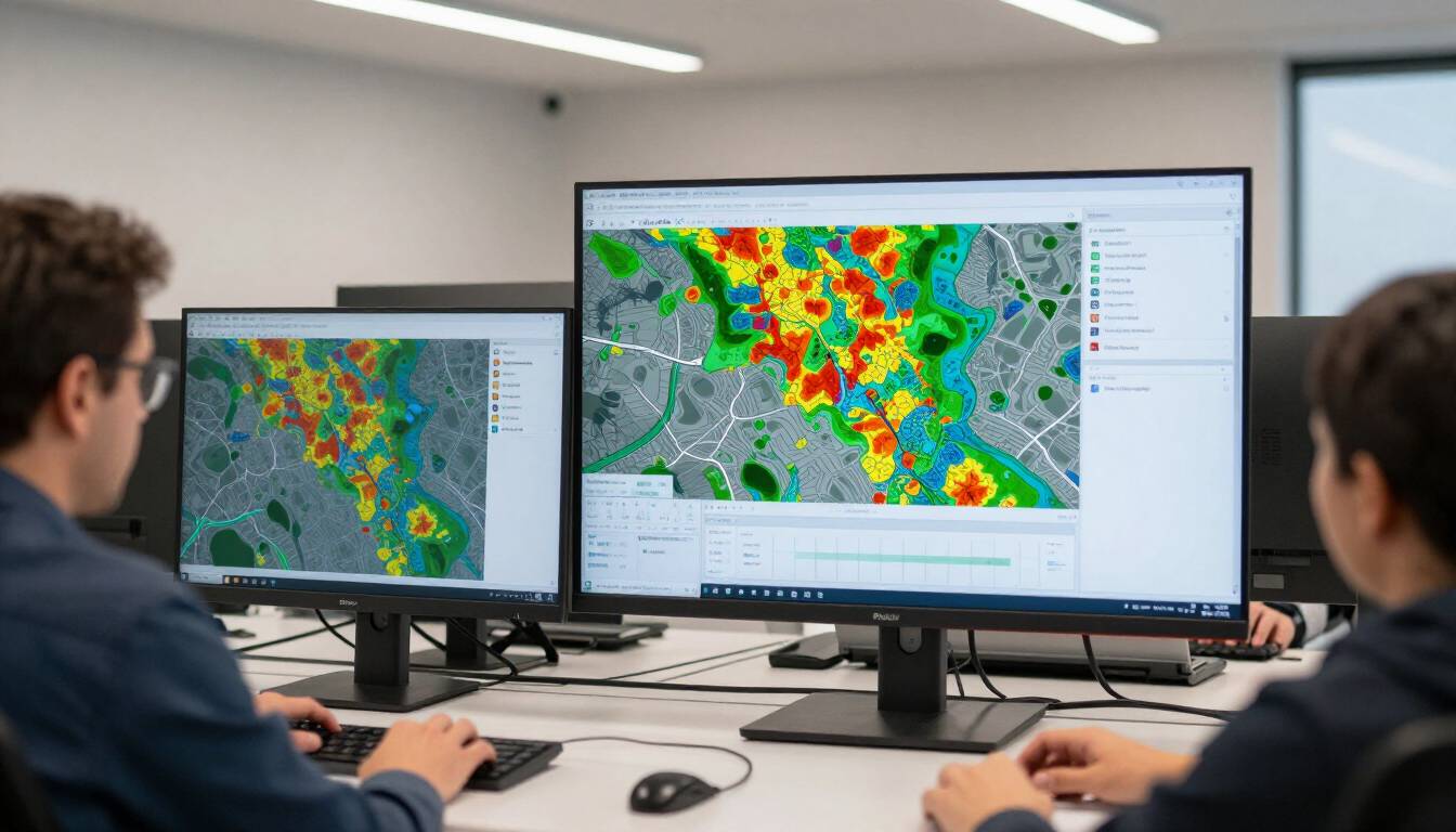
Our Smart Tree Inventory combines satellite imagery, Street View data, and our proprietary geospatial AI to detect, classify, and assess every street-visible tree — without costly fieldwork.
- AI-driven tree detection
- Botanical genus identification
- Phytosanitary health classification
- Canopy measurements (crown, height, DBH)
- Live dashboard + data exports
Ready to inventory your urban forest?
Contact us to discuss your project, request a sample dataset, or book a free intro call.