Management and development of spatial data solutions
- State-of-the-art GIS technology to empower business activity
- Short and long term spatial data related needs
- GIS training/coaching
- Customized data workflows
- Integration of new technology
- Innovative solutions to solve business needs proactively
- Remote and in-situ development and delivery
- Project management
- Multilingual (French, English and Spanish)
Some of our tools
GIS & Remote Sensing
QGIS ArcGIS MapInfo Global Mapper Idrisi PCI Geomatica
3D Visualisation
ArcScene (generating perspective scenes and fly-troughs) ArcGlobe Google Earth Pro
AI recognition
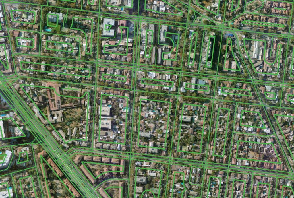
AI Based image segmentation and recognition utilizing SAM and Grounding Dino
CAD & ETL
Autocad Map 3D Microstation, FME and SSIS
ETL
PostGIS / Postgres SQL Server SpatiaLite/SQLite
SQL Development
Software development/Automation
Python PowerShell VB, ModelBuilder FME
⊕
GIS SERVICES
- Customized data extraction, transform and load
- Data base modeling
- Automation of data processing
- Geoserver setup
- Static or dynamic cartography
- Data workflow design based on client requirements
- Raster and vector data analysis
- Script development in Python, SQL, PowerShell, FME and more
- CAD to GIS data transfert
- Business intelligence dashboard based on SQL queries
- DEM flood analysis
- Watershed modeling
- Land surface temperature (LST) satellite data extraction for urban heat island analysis and urban planning
- NDVI calculation
- Raster georeference, classification, multiband processing
- Topology
- Lidar (point cloud) classification
- Spatial analysis
- GIS development
GIS TRAINING
Training can be carried out remotely or in-person.
Each of the following topics can be adapted to your specifics requirements, background and level of experience:
- Data modeling
- SQL
- ESRI Geodatabases
- ArcGIS Pro
- FME Desktop
- Qgis Desktop
Some examples of our work